National Geographic Explores Machu Picchu's Remarkable Inca Engineering | Travel News
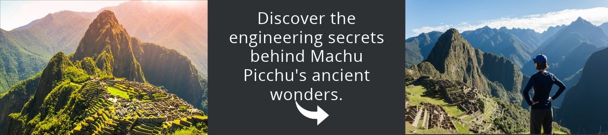
National Geographic has devoted a documentary special to Machu Picchu, examining how Inca builders developed earthquake-resistant stone structures, sophisticated water systems, and agricultural terraces in the mountainous terrain of southern Peru. The production focuses on the engineering methods that helped the ancient citadel withstand challenging environmental conditions.
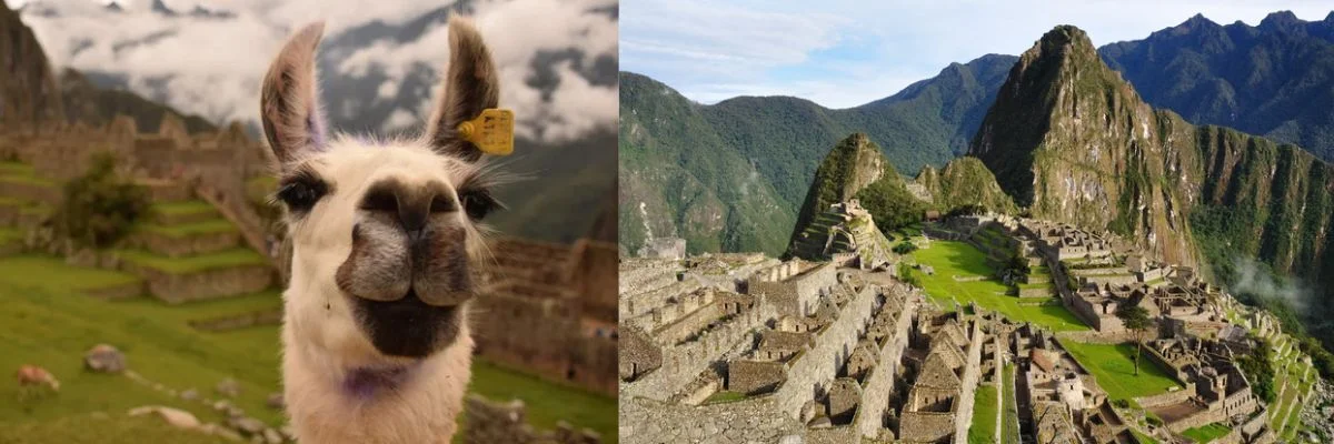
Located in the Cusco region of the Peruvian Andes, Machu Picchu is known for its precisely fitted stone walls, many of which were constructed without mortar. Its builders achieved this using stoneworking techniques that relied on the shape, weight, and positioning of individual blocks rather than conventional binding materials.
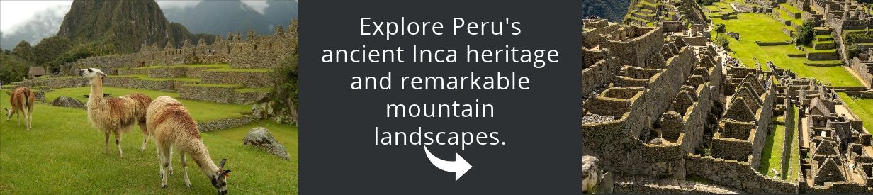
The documentary, featured on National Geographic History, explores how the Incas constructed the complex without iron or steel and adapted its architecture to steep slopes and an earthquake-prone landscape. It also examines the relationship between the citadel's buildings, drainage networks, and surrounding terrain.
How Inca stonework helped withstand earthquakes
Machu Picchu's walls demonstrate the use of dry-stone masonry, a construction method in which carefully shaped stones fit together without mortar. Some blocks have irregular outlines, allowing their surfaces to interlock while distributing weight throughout the structure.
This arrangement provides a degree of flexibility during seismic activity. Rather than behaving as completely rigid walls, the stones can undergo limited movement and settle back into position, helping reduce the likelihood of structural fractures.
Although the term ashlar is sometimes used to describe Inca stonework, it generally refers to dressed stone blocks with regular shapes. Dry-stone masonry more accurately describes the broader construction approach used throughout the citadel, including walls made with irregularly shaped stones.

Inca builders also incorporated the mountain's natural contours into their designs. Buildings, retaining walls, and terraces were positioned to work with the landscape, reducing the need to impose a uniform layout on difficult terrain.
Water management and agricultural terraces
The National Geographic special also examines Machu Picchu's hydraulic infrastructure, which enabled its inhabitants to collect, direct, and distribute water. A network of fountains, canals, and drainage channels formed part of the citadel's overall architectural planning.
Drainage was particularly important in a mountainous environment where controlling water movement helped protect the built structures and surrounding ground. The system illustrates how the Incas considered water management alongside the construction of buildings and public spaces.
Agricultural terraces provided another way to adapt the slopes for human use. Beyond creating areas suitable for cultivation, these stepped structures helped retain soil, limit erosion, and stabilize sections of the hillside.
Among the engineering features highlighted in the documentary are:
- Precisely fitted stone walls assembled without mortar in major structures.
- Dry-stone construction designed to accommodate limited movement during earthquakes.
- Fountains and canals used to collect and distribute water throughout the complex.
- Drainage infrastructure that helped regulate water flow and protect the terrain.
- Agricultural terraces that supported cultivation, soil conservation, and slope stability.

LiDAR technology offers another view of Machu Picchu
Modern archaeological research is also part of National Geographic's coverage. The documentary series Lost Cities with Albert Lin uses digital scanning and three-dimensional visualization to investigate ancient settlements and the landscapes surrounding them.
One of the technologies featured is LiDAR, which measures distances using laser pulses to produce detailed representations of terrain. Archaeologists can use these measurements to examine landscape features and identify possible structural remains that may be difficult to recognize through conventional field observation.
In the Machu Picchu episode, scientist and explorer Albert Lin travels through the Peruvian Andes to investigate the citadel's origins and look for evidence of human occupation before the Inca period. The program combines on-site exploration with archaeological research and digital reconstruction techniques.
The investigation connects the engineering visible at Machu Picchu today with questions about the site's earlier history. While the documentary examines possible evidence of pre-Inca occupation, the source material does not report a confirmed discovery or establish a new chronology for the citadel.
National Geographic's coverage presents Machu Picchu as a case study in construction techniques shaped by local geography, seismic conditions, and water availability. The continuing use of scanning technology offers researchers additional methods for examining the archaeological landscape and investigating how the site developed over time.