Exploring the Majestic Mirror of the Sky on Earth | Travel News
Salar de Uyuni, situated in southwestern Bolivia, is the largest salt flat in the world, spanning over 10,000 square kilometers (3,900 square miles). Its vast, reflective surface and distinct characteristics make it a remarkable natural wonder and an important site for scientific research and tourism.
Formation and Geography
Salar de Uyuni is the remnant of the ancient Lake Poopó, which dried up thousands of years ago. It lies at an elevation of approximately 3,656 meters (11,995 feet) above sea level in the Altiplano, a high plateau between the Andes mountains. The region's arid climate and surrounding mountains contribute to the extensive salt crust.
 Bolivia Comfortable | Voyagers Travel
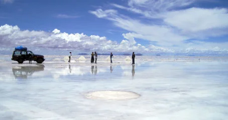
Discover Bolivia's rich culture and breathtaking landscapes on this 6-day tour, from La Paz's historic streets to the mesmerizing Uyuni Salt Flats.
Request
Composition and Structure
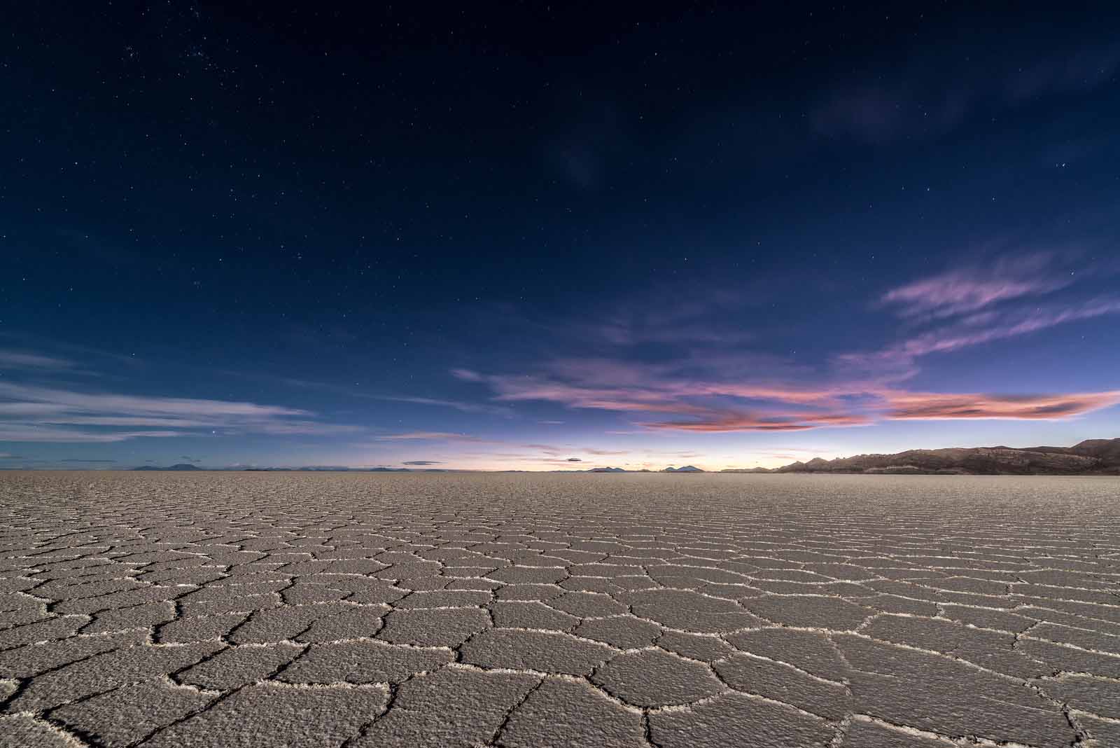
The salt crust of Salar de Uyuni mainly consists of sodium chloride (table salt) but also contains significant amounts of lithium chloride and potassium chloride. Beneath the crust is a layer of brine, a mixture of saltwater and other minerals, which is one of the largest sources of lithium in the world, essential for batteries and other technologies. The surface features hexagonal patterns of salt crystals, formed by the contraction of the salt as it dries.
Seasonal Variations
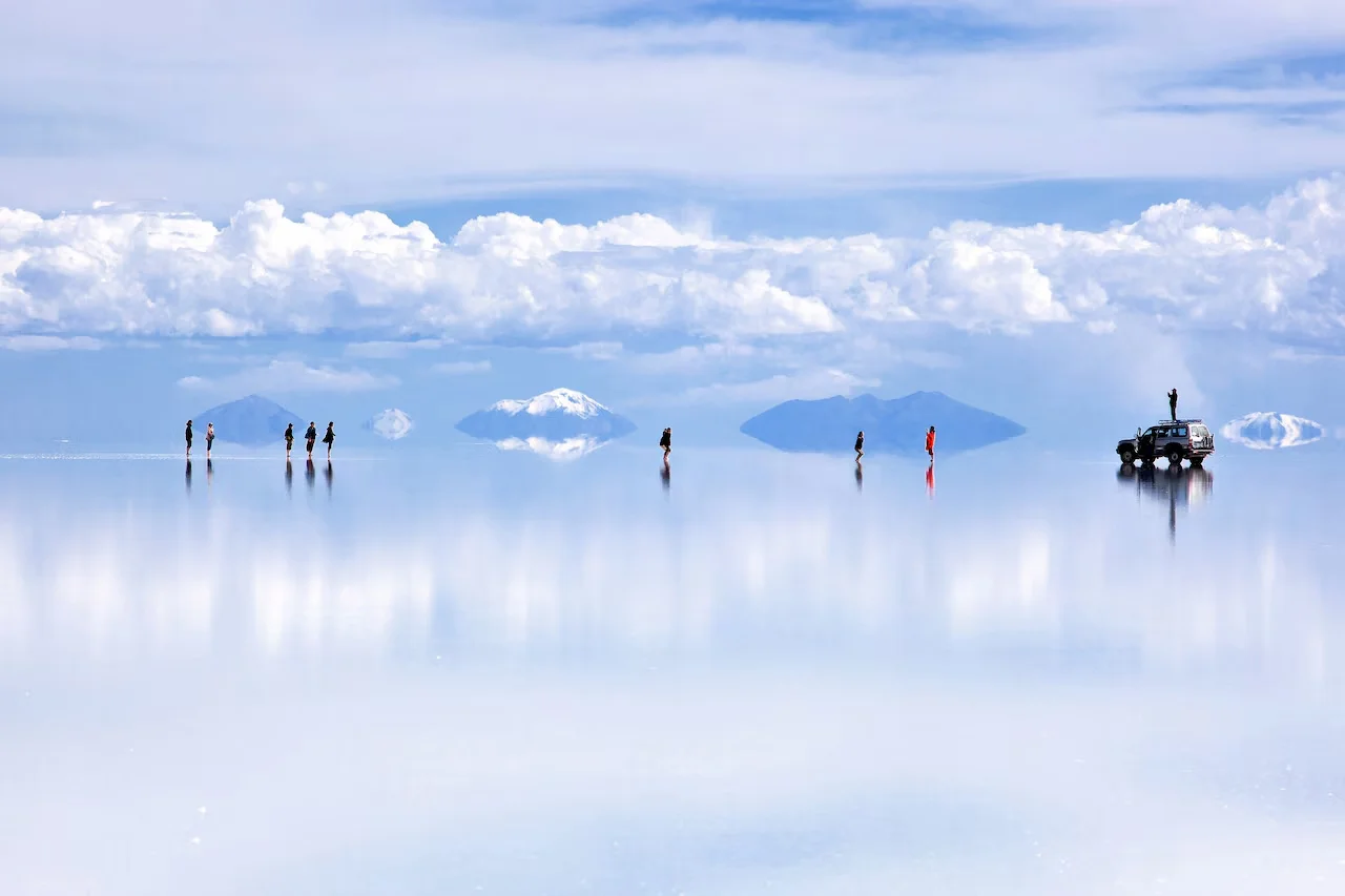
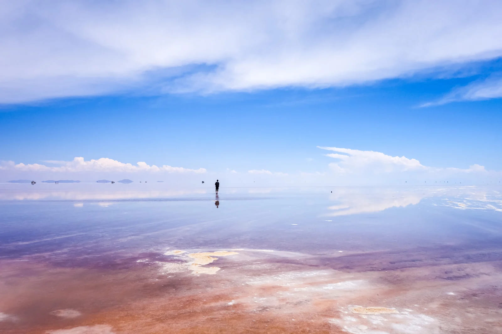
The appearance of Salar de Uyuni changes dramatically with the seasons. During the rainy season (January to March), it becomes a vast, shallow lake, with a thin layer of water creating a mirror-like effect that reflects the sky, offering surreal and breathtaking views. In the dry season (April to December), the water evaporates, leaving a vast expanse of white salt crust, which allows for easier exploration and is popular for off-road tours and photography.
Ecological and Environmental Significance
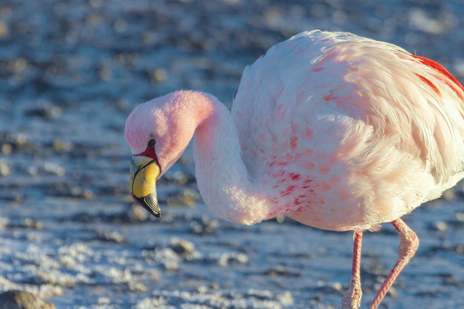
Despite its arid and seemingly barren appearance, the Salar de Uyuni region hosts a variety of wildlife. The high altitude and harsh conditions support unique ecosystems, including several species of flamingos that breed in the region's saline lagoons. The salt flat also plays a critical role in the Andean ecosystem, influencing local weather patterns and hydrology.
Economic Importance
The lithium brine deposits beneath Salar de Uyuni have significant economic potential. Bolivia's government and international companies have been exploring ways to exploit these resources for battery production and other applications. However, the extraction and processing of lithium are complex and environmentally sensitive, raising concerns about sustainability and impacts on local communities and ecosystems.
Tourism and Cultural Impact
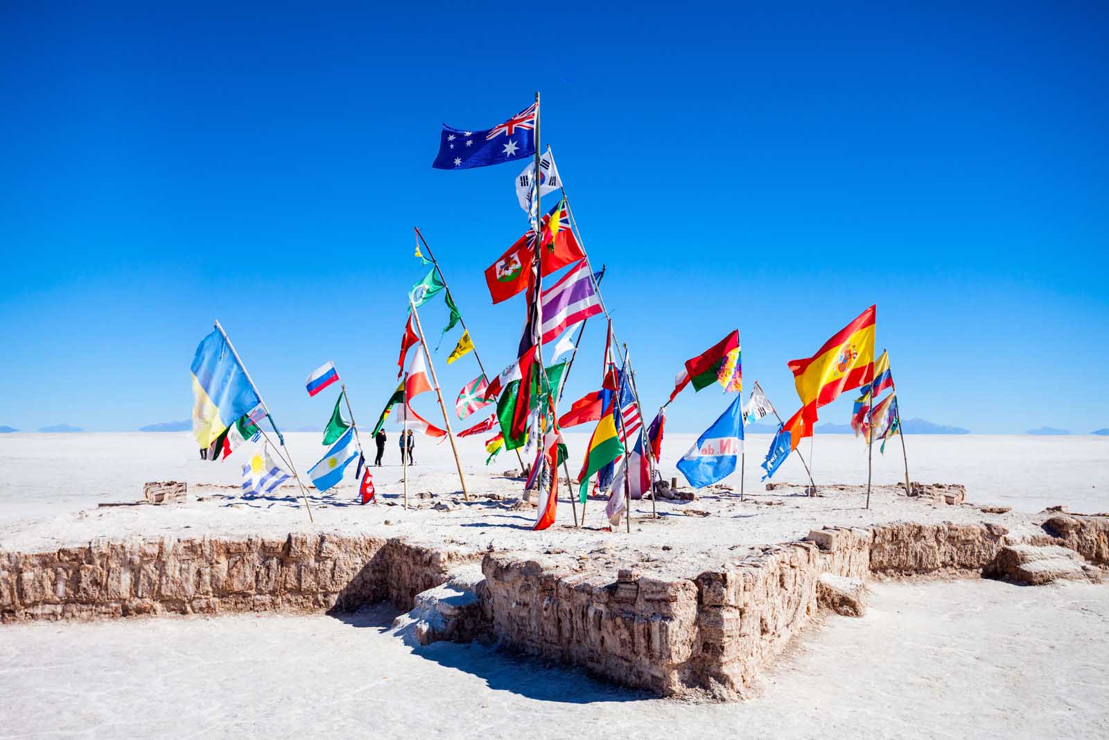
Tourism is a major industry in the region, attracting visitors to its striking visual contrasts and unique landscape. The vast, open spaces of the salt flat offer opportunities for photography, especially the illusion of infinite reflections during the rainy season. Local tour operators provide excursions ranging from day trips to multi-day adventures, often including visits to nearby natural attractions such as Eduardo Avaroa National Park and its colorful lagoons.
The indigenous Aymara people have traditionally lived in the region, with their culture and practices deeply intertwined with the landscape. Tourism has brought both opportunities and challenges for these communities, as they balance the benefits of increased economic activity with the impacts on their environment and way of life.
Scientific Research
Salar de Uyuni is of great interest to scientists in fields such as geology, climatology, and astronomy. The flat's unique surface conditions make it an ideal location for calibrating satellite sensors and conducting remote sensing research. Additionally, its extreme dryness and high altitude provide valuable insights into climate patterns and environmental change.
Preservation and Challenges
Efforts to preserve Salar de Uyuni and its surrounding environment are ongoing, as the region faces challenges related to resource extraction, climate change, and tourism. Ensuring sustainable development and maintaining ecological balance are crucial for protecting this extraordinary natural resource for future generations.
In summary, Salar de Uyuni is a geological marvel with profound scientific, economic, and cultural significance. Its vast expanse, dramatic seasonal transformations, and rich mineral resources make it a unique and fascinating destination, while also presenting challenges that require careful management and conservation efforts.
