4 Day Galapagos Itinerary
Day 1: Puerto Ayora , Twins Craters
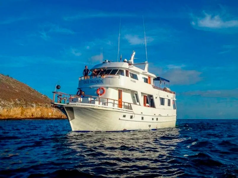
Upon arrival at BALTRA Airport, travelers pass through an airport inspection point to make sure that no foreign plants or animals are introduced to the islands, as well as to pay the park entrance fee ($100), Our guide will meet with you, will help you pick up your luggage, and accompany you to the port of Puerto Ayora in a taxi ride, where we set the cruise aboard the Yacht Darwin where the captain and crew will welcome you.
Twin Craters
Twin Craters or The Pit Craters are, geologically speaking, seen as craters and its formation is not directly due to volcanic action. They were created as a result of the collapse or sinking of surface materials into cracks or manholes. In 1989 a circular path around the largest crater was opened, which passes through the interior of the Scalesia forest, an excellent place to observe land birds, especially the woodpecker finch and the vermillion flycatcher. The vermillion flycatcher is the most outstanding terrestrial bird in the upper parts of most of the islands. The Pit Craters is perhaps the best place for observing them, since they arrive in large numbers in the Scalesia forest. They are curious and usually fairly tame. They feed on insects they often trap with their peak in mid-flight. Their nesting season is from January to April; they put 3 eggs in a nest constructed of moss and lichen. The vermillion flycatcher inhabits many areas of North and South America. Another plant that draws attention at the Pit Craters is the Galapagos Guava or guayabillo tree, Psidium galapageium, which have a clean and smooth bark. Its branches are covered with epiphytes and brown liverworts, Bryopteris liebmanniana that many people confuse with moss. Allowed tour: group tour with a naturalist guide; guided walks.
Day 2: Santiago Island: Port Egas & Espumilla Beach
Port Egas
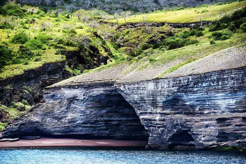
The visitor site Port Egas is a black sand beach located on the west side of James Bay and northwest of Santiago Island. South of the beach is Sugarloaf Volcano, which has deposits of volcanic tuff, the same that has favored the formation of the black sand beach. The Crater is just north of this site; it has a saltwater lagoon, which during the summer dry season becomes a salt mine.
Espumilla Beach
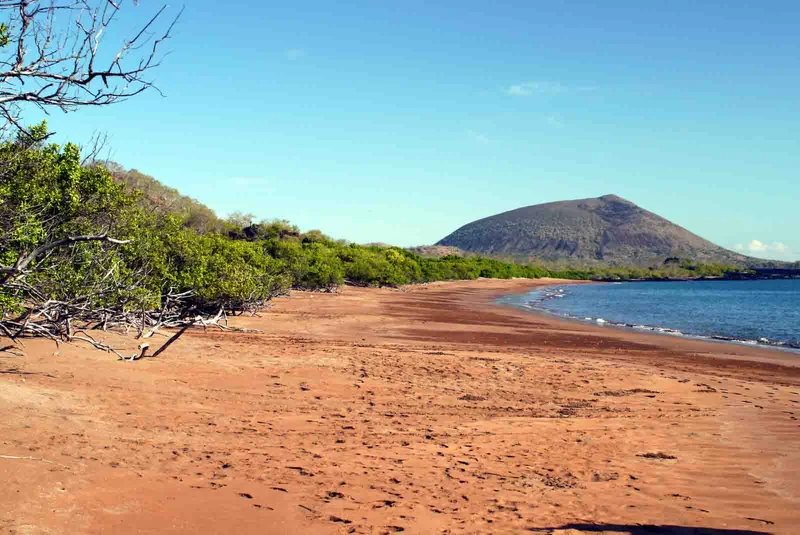
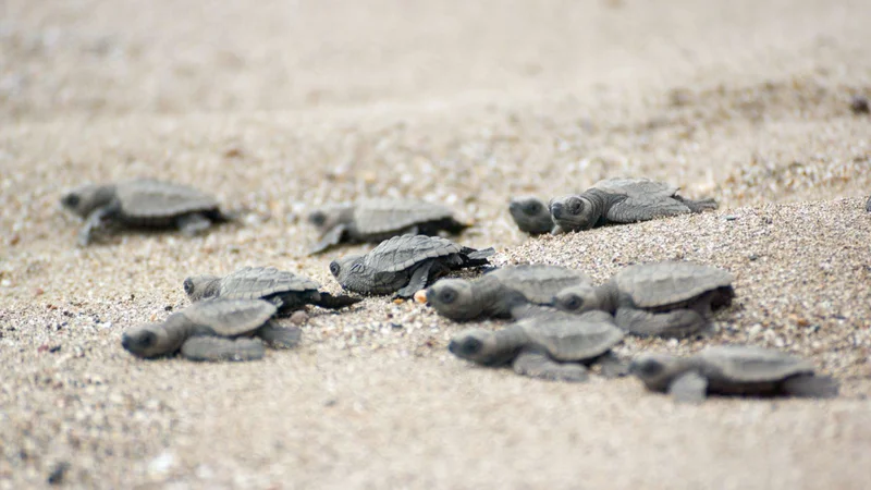
The Espumilla visitor site is on the northern coast of Santiago Island in James Bay. The main attractions here are a palo santo forest, beach and the landscape. The beach is an important site for nesting marine turtles (Chelonia midas agassizi).
Day 3: Bartolome Island & Santiago Island: Sullivan Bay
Bartolome Island
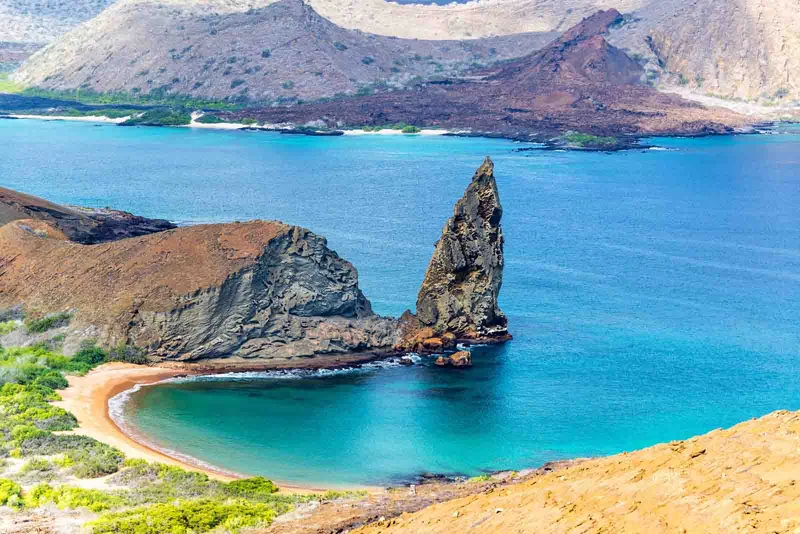
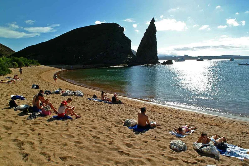
The Bartolomé visitor site, is a flagship site in the Galapagos Islands because of its wonderful beauty. It possesses masterful landscapes and its main attractions are the beaches, the dunes and Pinnacle Rock. Among the local species, there is the sea turtle (Chelonia mydas), which choose this place as a nesting site and the Galapagos penguin. This site has two beaches: North Beach and South Beach. The north beach is the landing site where you can practice swimming and snorkeling. South beach is accessed by a small path along the mangroves and over the great sand dune.
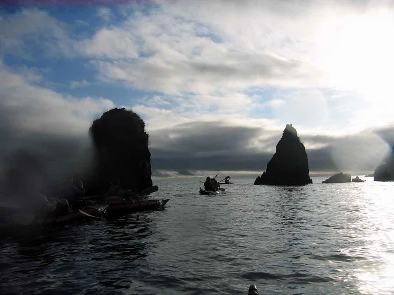
Bartolome Escalera, The top of this hill is about 115 m and the route is performed on a path of 795 meters. No one knows the exact age of this island but according to its geological composition and general characteristics it is quite young. The few plants found on the island are called pioneers because they are the first plants that arrive and settle there. E.g. Tiquilia nesiotes, Tiquilia fusca and Chamaesyce spp. East of the summit there are spatter cones, consisting of thick lava droplets. To the west lie tuff cones (volcanic ash sediment) and their eroded remnants. The Tower or Pinnacle is part of a tuff cone. A small colony of penguins, Spheniscus mendiculus, breeds in the small bay. Bartolomé is one of the best places to see them.
Santiago Island: Sullivan Bay
Sillivan Bay is of great geological interest. It is located southeast of Santiago Island; the landing can be performed either in the rocky shore (dry landing) or the white sand beach (wet landing). The length of the trail is approximately 1.5 km; travel time is one hour and a half. The area is covered by Pahoehoe lava flows (solidified lava in corrugated or accordion form). It was very active in the last 25 years of the nineteenth century. The Sullivan lava was formed in 1897. Geologically this flow is very young. The formed magma is flat but the movement of underground lava, the rapid cooling and other eruptions led to the break in many places. These formations have a thickness of 1.5 m and did not cover much of the previous relief forming “kipukas” (Islands of vegetation surrounded by newer lava tides)
Day 4: North Seymour – Transfer Out
North Seymour is located north of Baltra (or South Seymour). The total distance of the trail is 2 miles. Seymour North, Plaza Sur, and Plaza Norte,Baltra, northeastern Santa Cruz, Santa Fe and part of Española, were formed by uprisings of underwater volcanic lavas. They were part of a volcanic lava table deposited in sheet form along cracks located on the ocean floor. The uprisings occurred sporadically and lasted more than a million years to reach its current level. The vegetation is bush and hosts the largest nesting colony of Great Frigatebirds in Galapagos. Importantly, the Galapagos is the westernmost distribution for this species. The common frigate is also present. Permitted Uses: Interpretive Group Tour with a Naturalist Guide; Guided walks: Snorkel Panga Ride. Our guide will be checked out at the airport of Baltra. We look forward to a future trip back on our yacht Darwin.
4 Day Galapagos Itinerary Includes
- Accommodation in double/twin bunk-bed cabins with private facilities
- All meals during cruise, drinking water, coffee & tea
- All excursions accompanied by bilingual licensed guide as per itinerary
- Cruise Fuel Surcharge
- Transfers within the islands on cruise dates as per itinerary
- Personalized 24/7 assistance during tour.
4 Day Galapagos Itinerary Does not Include
- Galapagos National Park Entrance Fee US$200 per person (in cash only on Islands)
- Galapagos Migration Card US$20 in cash per person (at Mainland’s Airport)
- Alcoholic / soft drinks, personal expenses, extras, tips and other services not specified in the program
- Bus ride from Baltra airport to Itabaca Channel: $5 per way per person in cash
- Snorkeling equipment and all sizes wet-suits for rent on board (in cash)
- Travel, medical & cancelation Insurance and any services on Mainland
- Flights to Galapagos from Quito / Guayaquil
- International flights to/from Ecuador.
4 Day Galapagos Itinerary Highlights
- Visit Bartolome island and climb to the summit for a view of the volcanic scenery on Santiago and Isabela islands
- Explore the central islands of the archipelago for a smooth navigation and great wildlife viewing
- Walk on the lava fields of James Bay and be amazed at many colors crystalized from past eruptions
- Possibility to snorkel with penguins, sea turtles and other marine creatures at half moon bay (Bartolome Island)
- Visit 4 Islands and 6 visitor sites on a 3 night expedition class cruise
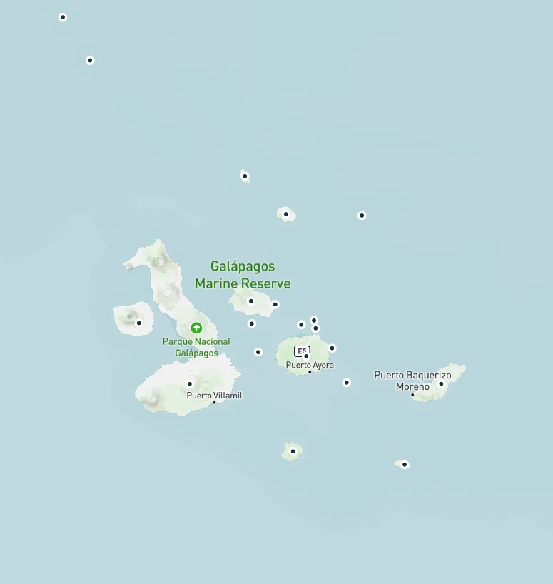
Itinerary Map
Reviews
Animals you might see on this itinerary:
More information about the Galapagos Islands you visit in this 4 day itinerary:
4 day Galapagos central islands liveaboard trip Darwin Yacht
Why travel with us?
Similar Itineraries
