Marine geologist makes unique discovery at famed Galapagos Islands using revolutionary ocean mapping technologies | Travel News
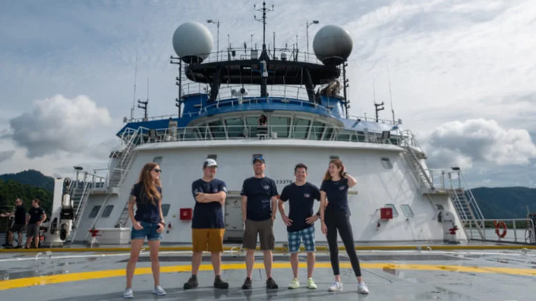
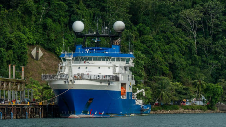
A marine geologist from Memorial University, along with a team of experts, recently set sail for their latest research expedition to the Galapagos Islands. Dr. John Jamieson, a professor in the Department of Earth Sciences and the Canada Research Chair in marine geology at Memorial University, led the multidisciplinary team of scientists. Spending five weeks this fall aboard the R/V Falkor, they conducted surveys in the waters surrounding the Pacific Ocean islands, located close to the equator and approximately 1,000 kilometers off the coast of Ecuador. The Schmidt Ocean Institute sponsored the expedition.
During their time at sea, the researchers examined the capabilities of an interferometric synthetic aperture sonar (InSAS) system, concentrating on the mapping and exploration of hydrothermal vent fields at three locations north of the volcanic archipelago. The expedition team consisted of 24 scientists from eight institutions in Canada, the U.S., and Japan, with four members from Dr. Jamieson’s lab group: post-doctoral fellow Dr. Chris Galley, PhD candidates Caroline Gini and Sarah Moriarty, and master of science student Charles Lapointe.
Acoustic imagery
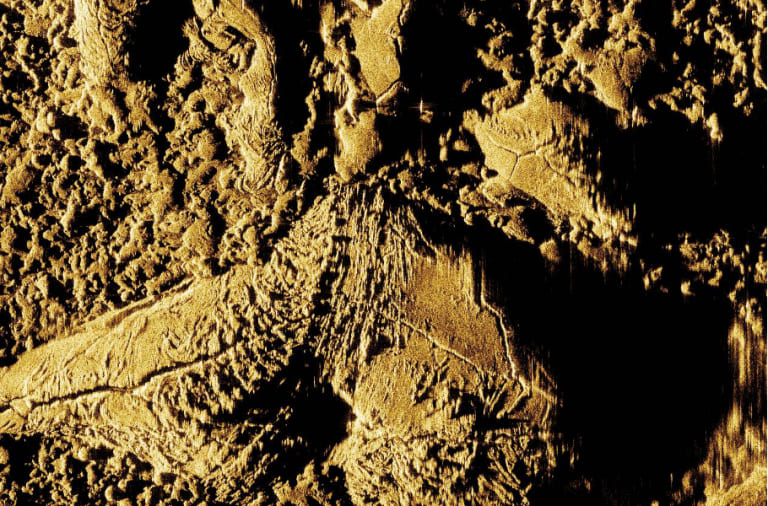
The main goal of the expedition was to test and develop InSAS, with Kraken Robotics, a Mount Pearl-based underwater technology company, spearheading the creation of InSAS technology for both defense and offshore commercial applications.
Dr. Jamieson's scientific expedition served as a testing ground for the InSAS technology, designed to generate detailed acoustic images of the seafloor using sound.
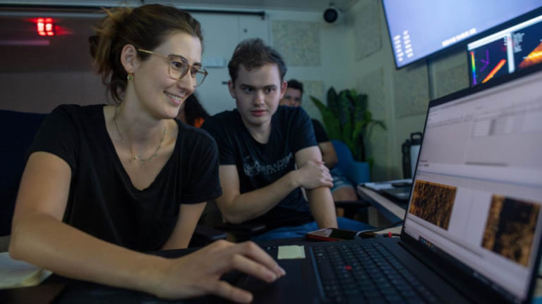
During the expedition, Ms. Gini played a crucial role in planning InSAS surveys, operating sonar, and processing data. She collaborated closely with geologists and biologists on board to optimize survey outcomes in terms of seafloor coverage and limitations. Collaboration extended to working with other mappers to compare results from different techniques, including bathymetric maps.
Dr. Galley, also part of the mapping team, focused on designing dive tracks, documenting dives, and processing magnetic field data for data map creation. Despite the challenging schedule, he expressed the difficulty of sleeping, driven by the fear of missing remarkable discoveries.
The team systematically mapped three areas along the eastern Galapagos spreading center, a region characterized by volcanic and hydrothermal activity along a mid-ocean ridge. While two of the sites were previously explored for hydrothermal vents, the third site remained unexplored.
Hydrothermal vents, known as "black smokers" due to the smoke-like appearance of minerals ejected into the ocean, can contain valuable metals like copper, zinc, gold, and silver, sparking discussions about potential deep-sea mining.
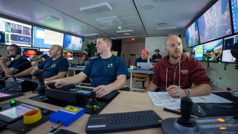
The discovery of a new hydrothermal vent field named Tortugas at the third site marked a significant achievement for the expedition, validating the technology and approach to seafloor exploration.
Using the remotely operated vehicle (ROV) Subastian, the team meticulously mapped, explored, and collected samples from the seafloor. By the expedition's end, they had gathered 104 animal samples, including 15 previously undescribed species, along with 108 rock samples from hydrothermal vents, 41 sediment samples, and over 100 seawater samples.
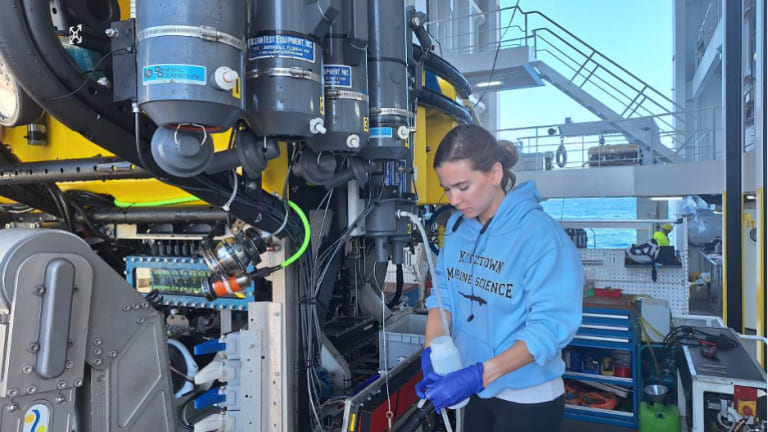
Ms. Moriarty played a crucial role in data management for the collected samples, ensuring comprehensive recording and easy accessibility of information related to scientific activities, deployments, and samples. She was also responsible for seawater collection, post-collection processing, and filtration.
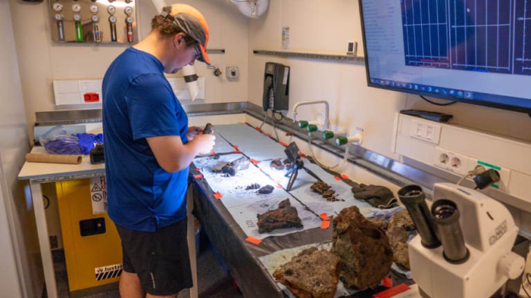
The collected samples will undergo post-expedition analysis to investigate isotopic abundances at varying depths and distances from hydrothermal vents. Meanwhile, Mr. Lapointe took on the primary responsibility of processing the rock samples, involving tasks such as photographing, cataloging, and subdividing them for different studies. Managing the freezing process within minutes of exposure to air and preventing cross-contamination posed significant challenges in this aspect.
Broadcasting from the ocean floor
Furthermore, over 50 terabytes of video and sonar mapping data from the seafloor were meticulously recorded.
Every dive conducted by the remotely operated vehicles (ROVs) was broadcasted in real-time and made available on the Schmidt Ocean Institute's YouTube channel.
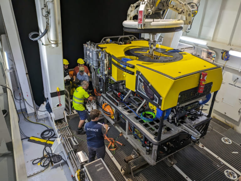
These live streams, some spanning up to eight hours, provide a window into the underwater environments explored by the research team.
The channel also featured regular video updates, where team members discussed the progress and discoveries made during the expedition.
Dr. Jamieson's laboratory group also shared expedition updates on its Instagram account.
Ms. Moriarty remarked, “It was remarkable that, despite our ambitious sampling plan and dedicating half of our time to mapping, we successfully achieved our diverse yet interconnected scientific objectives. This success can be attributed to Dr. Jamieson’s strategic time management, the outstanding teamwork exhibited by everyone, our shared enthusiasm for our respective tasks, the exceptional crew aboard the Falkor, and the tirelessly hardworking espresso machine.”
Check Our Suggested Tours:
- Galapagos 8 day southern islands cruise on board the Endemic
- Deluxe Center Island Cruise Large Ship Journey
- San Cristobal, Española & Santa Cruz Islands short cruise Horizon
- Enchanted Luxury South to North Galapagos Islands Cruise
- Elite Catamaran Galapagos Islands luxury cruise 8 days eastern & western route
- Discover the Galapagos Islands in a Cruise with Style

